

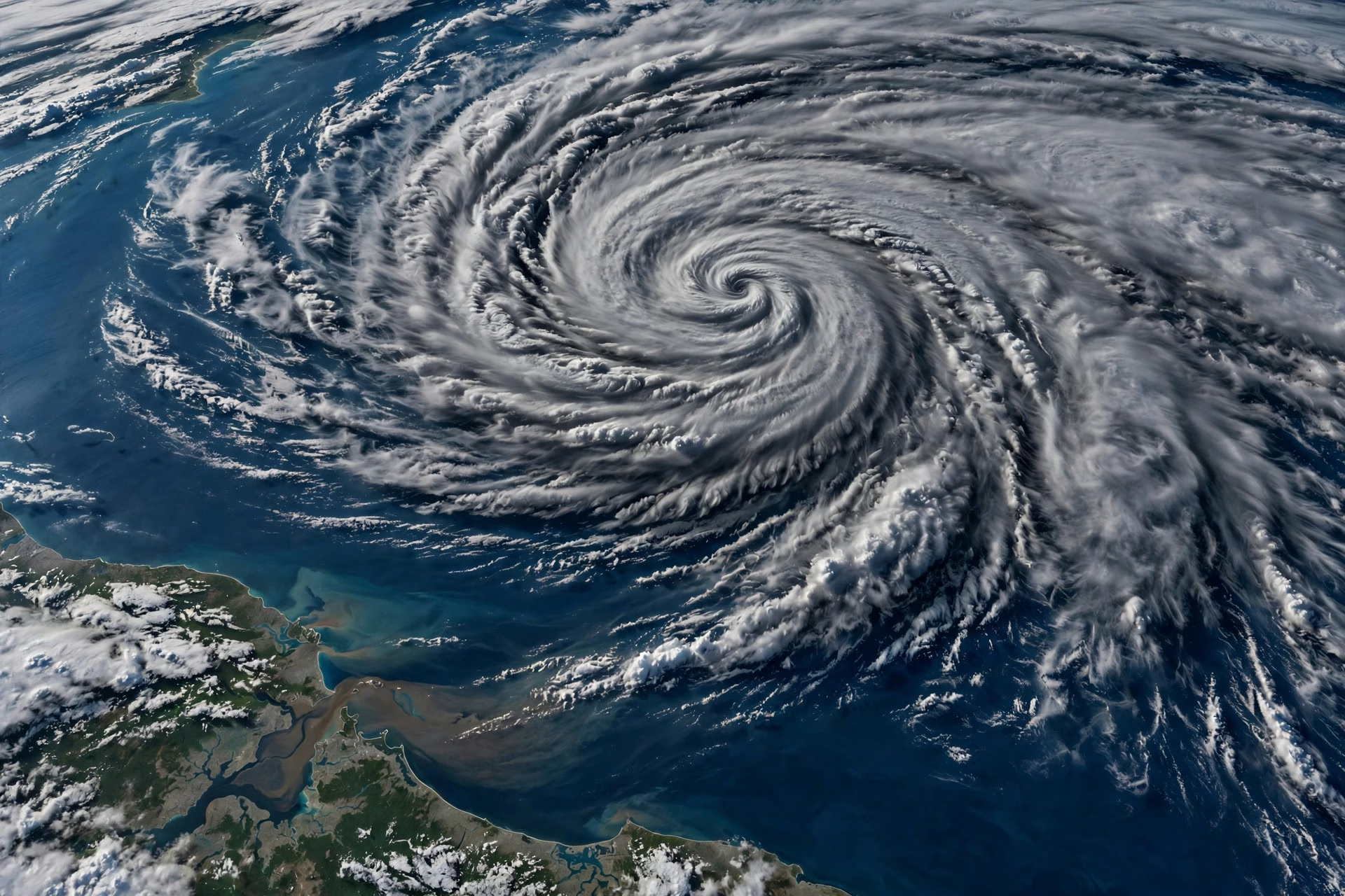
Weather agencies and forecast models are keeping a close watch on the Bay of Bengal, with long-range model guidance indicating the possibility of a circulation developing over the North Andaman Sea around October 12. The India Meteorological Department (IMD) is expected to gain clarity on whether the system could organise into a cyclone only after that date.
The developing watch comes at a sensitive time for eastern India. Odisha, still recovering from record floods that battered several districts this monsoon, is bracing for the possibility of a cyclonic system approaching the coast in the second half of October.

What the models indicate — and what remains uncertain
At this stage, forecasters stress that this is a model-indicated possibility, not a confirmed cyclone. Numerical weather models routinely flag potential circulations a week or more in advance, and many such systems never organise into storms. The IMD’s official bulletins remain the authoritative word, and no cyclone warning has been issued so far.
October is climatologically the peak season for post-monsoon cyclones in the Bay of Bengal, which is why even early model signals are watched closely by disaster management authorities in Odisha, West Bengal and Andhra Pradesh.
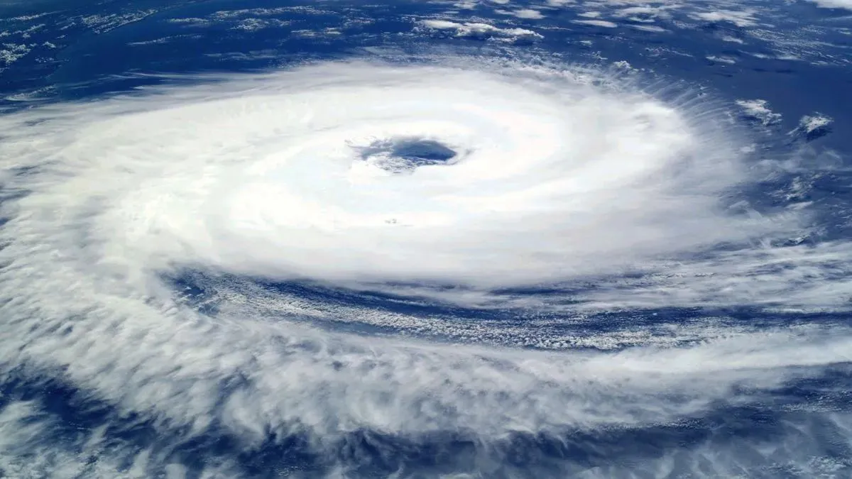
Odisha on alert after record floods
For Odisha, the timing could hardly be more worrying. The state has just endured one of its worst flood episodes in recent memory, with swollen rivers inundating farmland, damaging crops and displacing thousands of families. A cyclonic system — even a relatively weak one — bringing heavy rain and gusty winds could compound the misery in low-lying and flood-hit areas.
State authorities are expected to review preparedness in the coming days, including the readiness of cyclone shelters, drainage systems and emergency response teams along the coast.
What residents should do
Meteorologists advise the public to follow only official IMD updates and the state disaster management authority’s advisories, and to avoid forwarding unverified cyclone warnings on social media. Fishermen are routinely advised not to venture into the sea when the IMD flags rough conditions, and such advisories should be treated seriously as the situation evolves.
This is a developing story. We will update this report as the IMD issues fresh outlooks and as the picture around October 12 becomes clearer.
