

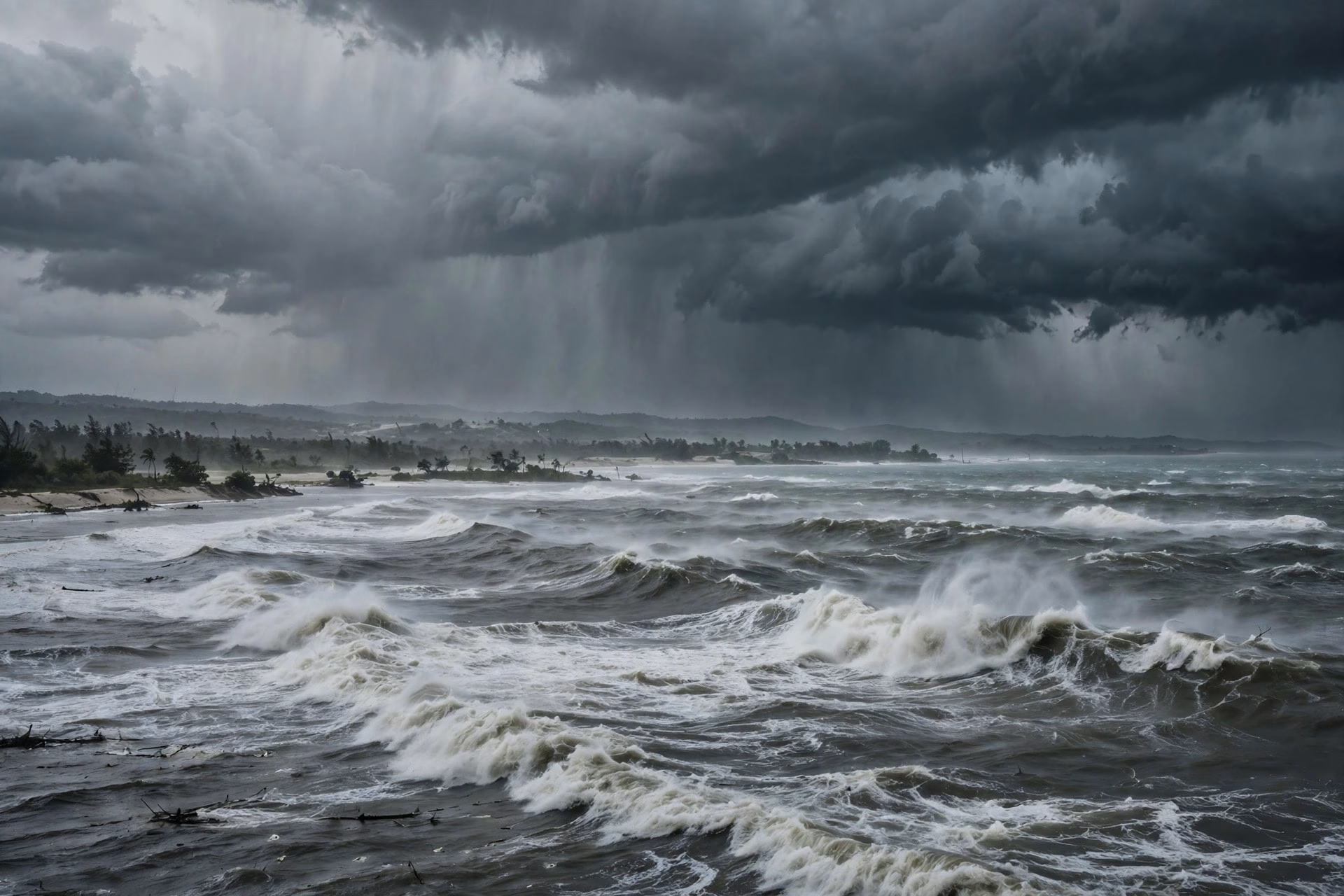
The Bay of Bengal has produced its second cyclonic storm in a week, and coastal Andhra Pradesh is now preparing for a landfall that the India Meteorological Department (IMD) expects on the morning of Tuesday, 3 November. Cyclone Murasu, named by India — the Tamil word for a war drum — intensified from a deep depression into a cyclonic storm at 11:30 am on Sunday, 1 November, and is forecast to strengthen further into a severe cyclonic storm over the west-central Bay of Bengal on Monday.
At its 11:30 am position on Sunday, the system lay centred near latitude 12.1 degrees north and longitude 85.3 degrees east, about 560 km east-southeast of Chennai, 660 km south-southeast of Visakhapatnam and 630 km east-southeast of Nellore. It has been moving west-northwestwards, a track that puts the south Andhra Pradesh coast squarely in its path. The IMD has said the storm is very likely to cross the coast between Nellore and Narsapur as a severe cyclonic storm, with sustained wind speeds of 100 to 110 kmph and gusts reaching 120 kmph.
The timing of the landfall window, between late Monday night and Tuesday morning, gives coastal districts roughly a day of final preparation. State administrations in Andhra Pradesh have been placed on high alert, and disaster response forces are being positioned along the coast. Fishermen have been advised against venturing into the sea, and the rough conditions expected off the coast make the warning an urgent one rather than a routine precaution.
Murasu arrives barely days after Cyclone Arnab made landfall on the Andhra Pradesh coast on 28 October, leaving little recovery time for coastal communities. Two cyclones in quick succession strain the same machinery — evacuation shelters, power restoration teams, road clearance crews and relief supplies — and officials will be watching whether the second storm compounds damage that is still being assessed from the first.
Odisha, though not expected to face a direct landfall, is also on watch. The IMD has issued yellow and orange alerts for several districts, with southern Odisha likely to receive heavy to extremely heavy rainfall on 3 and 4 November along with strong winds. The state’s experience with Bay of Bengal systems means even a storm that lands further south can bring flooding to its southern districts, and district collectors have been asked to keep a close eye on river levels and low-lying areas.
For residents of the south Andhra coast, the practical advice is familiar but worth repeating: stay indoors during the landfall window, keep away from the seafront and from weakened structures, and follow official bulletins rather than social media rumours about the storm’s track. Power and communication lines are often the first casualties of winds above 100 kmph, so charging phones and keeping emergency supplies ready remains the simplest and most effective preparation.
The IMD will continue to issue bulletins as Murasu approaches the coast, and the exact landfall point and intensity may still shift. What is not in doubt is that a second Bay of Bengal storm in a week is a serious test of coastal preparedness — and that the hours before landfall are the ones that matter most.
