

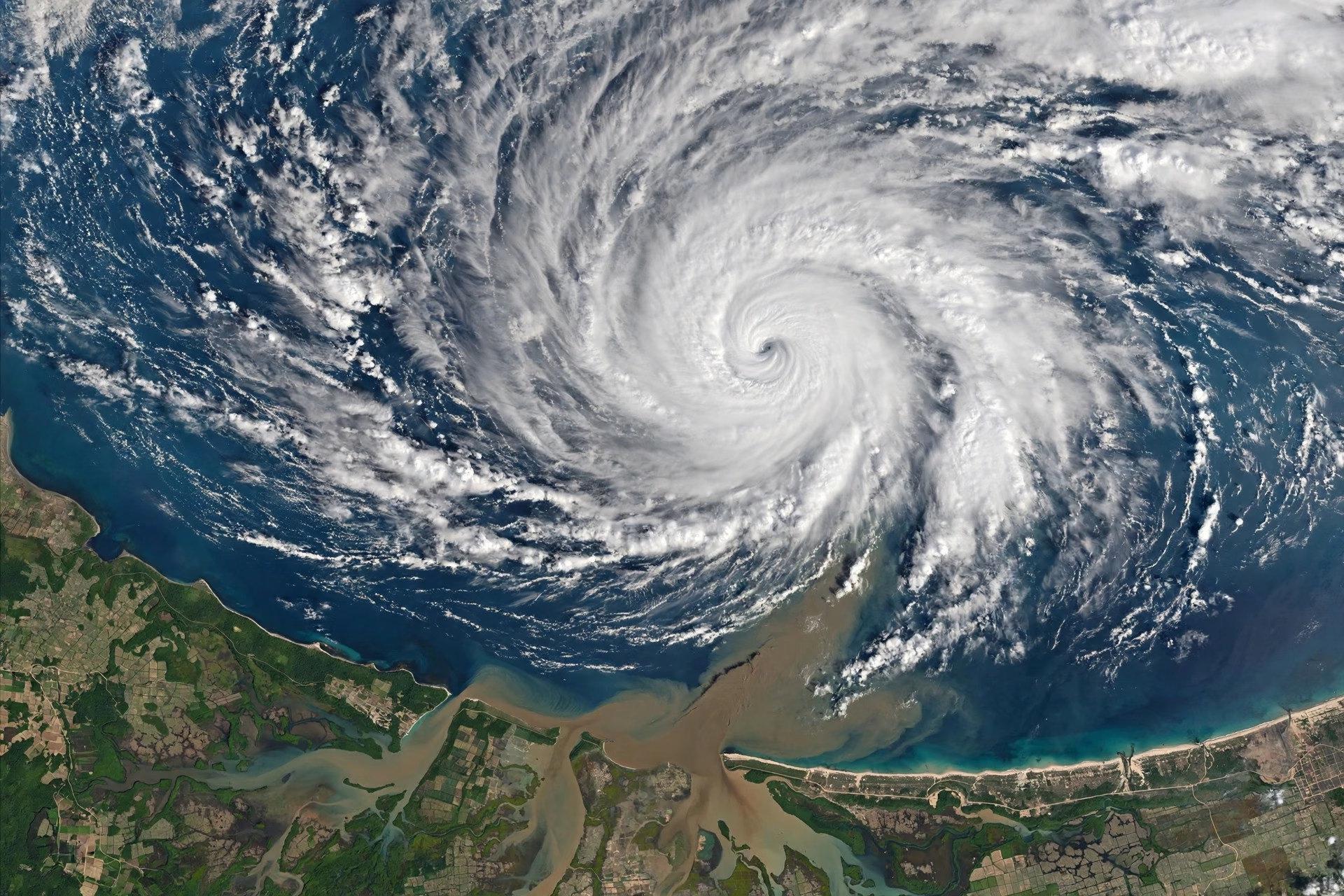
The India Meteorological Department is watching a new low-pressure area over the south Andaman Sea, days after Cyclone Arnab weakened over central India. The system is likely to become a depression over the southeast Bay of Bengal around 31 October and move towards the Andhra coast, keeping forecasters and disaster-management authorities on alert as the post-monsoon cyclone season continues.
Arnab’s remnant weakened into a well-marked low-pressure area over central Chhattisgarh on the evening of 29 October, ending its run as an organised cyclonic system. Even in its weakened state, however, the remnant continued to influence weather across a wide swathe of central and eastern India, bringing rain to areas far from the coast where it first made landfall.
The new system forming over the Andaman Sea is a reminder that the Bay of Bengal remains active at this time of year. Warm sea-surface temperatures and favourable atmospheric conditions can allow low-pressure areas to strengthen quickly, and forecasters track each one closely from its earliest stages. The IMD’s assessment that it may become a depression around 31 October gives coastal states valuable lead time to prepare, even though its exact track and intensity will become clearer only as it develops.
Andhra Pradesh, towards which the system is expected to move, has long experience of dealing with Bay of Bengal storms. The state’s coastline is among the most cyclone-prone in India, and its disaster-management machinery is accustomed to mobilising fishermen advisories, evacuation plans and relief supplies at short notice. Authorities will be watching the system’s progress closely in the coming days and issuing updated bulletins as the picture sharpens.
For Friday, the immediate weather concern lies further north. The IMD has warned of rain over north Bihar, northeast Uttar Pradesh, sub-Himalayan West Bengal and Sikkim, linked to the remnants of Arnab and associated weather systems. Residents in these areas should expect wet conditions and plan travel accordingly, while farmers will be watching the rain’s effect on standing crops and harvested produce.
The sequence of systems, Arnab followed so quickly by a new low-pressure area, illustrates the busy nature of the current season. The months after the southwest monsoon withdraws are traditionally the most active period for cyclones in the Bay of Bengal, and this year has followed that pattern. Each system demands the same discipline from forecasters and administrators: early detection, clear communication and timely preparation.
For the public, the key message is to follow official IMD bulletins rather than rumours on social media, where exaggerated forecasts often circulate during cyclone season. Fishermen are advised to heed official advisories before venturing out to sea, and coastal residents should keep an eye on updates over the weekend as the new system takes shape.
As the IMD continues to monitor the Andaman Sea system, the coming days will reveal whether it strengthens into a significant weather event or dissipates harmlessly over the Bay. Either way, the watch itself is a sign of a forecasting system working as it should, giving India time to prepare for whatever the sea sends next.
